
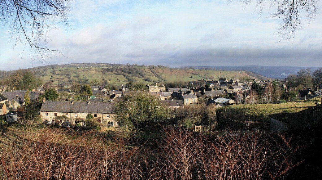
Deals on vacations and trips to Winster
Save when you book Winster package deals

Winster flight + hotel vacation packages
Price found within the past 48 hours. Click for updated prices.

Nottingham City Centre by Sunday
Nottingham City Centre
Price was $1,474, price is now $1,370 per person
$1,370
per person
Aug 17 - Aug 22
found 1 day ago
Roundtrip non-stop flight included
New York (NYC) to East Midlands (EMA)
A 24-hour gym is featured at this hotel, along with free WiFi in public areas and dry cleaning. Traveling on business? Take advantage of the business center and onsite conference space. There's luggage storage and multilingual staff can provide around-the-clock assistance.
Top Winster hotels deals

Radisson Blu Hotel, Sheffield
Pinstone Street, 30 Sheffield England
Free Cancellation
Reserve now, pay when you stay
$93 nightly
The price is $112 total per night
$112 total
Aug 2 - Aug 3
Total with taxes and fees
This hotel features a restaurant, a 24-hour gym, and a bar/lounge. Traveling on business? Take advantage of the business center and free WiFi in public areas. Express check-in, express check-out, and dry cleaning are also on offer.

mour Hotel
Lake View Drive, Sherwood Park Nottingham England
$116 nightly
The price is $139 total per night
$139 total
Jul 10 - Jul 11
Total with taxes and fees
This hotel features a restaurant, a 24-hour gym, and a bar/lounge. Traveling for business? Take advantage of the free WiFi in public areas, laundry service, and conference space. Free self parking, a terrace, and a snack bar/deli are also offered.

Palace Hotel & Spa Buxton
Palace Road Buxton England
Free Cancellation
Reserve now, pay when you stay
$88 nightly
The price is $105 total per night
$105 total
Aug 2 - Aug 3
Total with taxes and fees
A full-service spa, a gym, and a restaurant are all featured at this smoke-free hotel. Traveling on business? Take advantage of the business center and free WiFi in public areas. Make the most of the indoor pool and gym, and relax with drinks at one of the 2 bars/lounges.

Derby Mickleover Hotel, BW Signature Collection
Etwall Road Derby England
Free Cancellation
Reserve now, pay when you stay
$59 nightly
The price is $71 total per night
$71 total
Jul 17 - Jul 18
Total with taxes and fees
The hotel's indoor pool, gym, and 3 bars/lounges are among the featured amenities. Traveling on business? Take advantage of the business center and free WiFi in public areas. Enjoy a meal from the a restaurant and perks like free self parking.

Buxton Crescent
The Crescent Buxton England
$180 nightly
The price is $216 total per night
$216 total
Jul 6 - Jul 7
Total with taxes and fees
A restaurant and a bar/lounge are featured at this hotel. Guests will appreciate free perks like full breakfast and WiFi in public areas. Valet parking, a coffee shop, and a snack bar/deli are also offered.

Sheffield Metropolitan Hotel by Belvilla
Blonk Street Sheffield England
Free Cancellation
Reserve now, pay when you stay
$49 nightly
The price is $58 total per night
$58 total
Jul 5 - Jul 6
Total with taxes and fees
Free WiFi in public areas, a snack bar/deli, and a convenience store are available at this hotel. Traveling on business? Take advantage of the 2 onsite conference rooms. There's luggage storage and multilingual staff can provide around-the-clock assistance.
Lowest nightly price found within the past 24 hours based on a 1 night stay for 2 adults. Prices and availability subject to change. Additional terms may apply.


